GIS Integration
Use RoboDot’s position in your GIS app to collect field features with an external GNSS receiver. For centimetre-level RTK work, connect corrections and confirm a Fixed solution.
NMEA sentences are transmitted from RoboDot to GIS applications through TCP, Bluetooth (LE), and Serial connections.
RoboDot should be set up as a Rover when used with GIS and Surveying applications
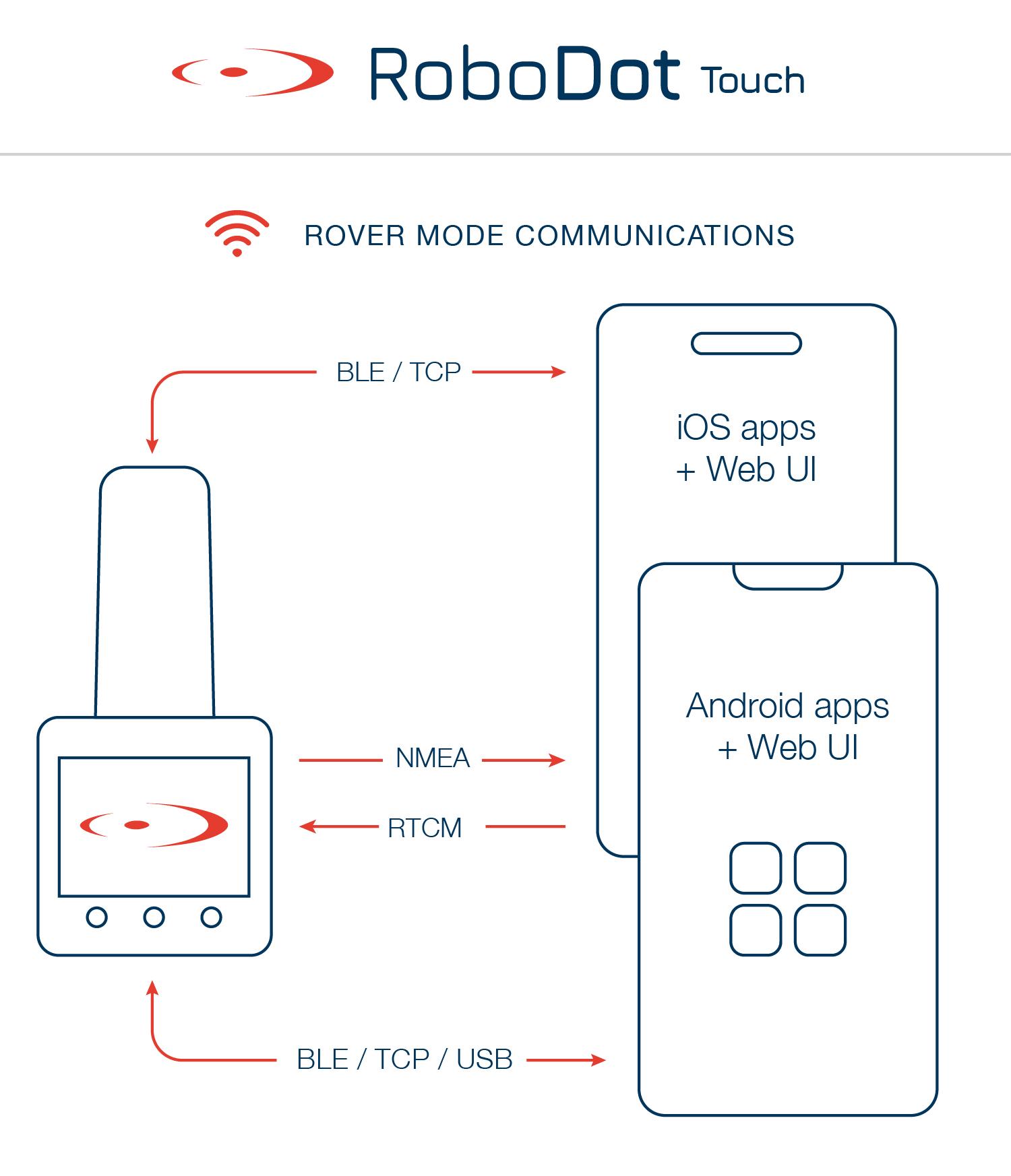
How RoboDot Connects to GIS apps
Compatible Applications
Choose a connection supported by your app: BLE, USB serial, or TCP. The guides below explain the setup for each application.